Yora
Should be playing D&D instead
Old thread, but that has never stopped anyone here.
I've been thinking recently about I want to structure and present the environment that I created for a new campaign as a map for the players. I'm not a fan of grids being visible to players, as I personally believe it encourages a board game mentality in which the map is the game, instead of being an in-world object that communicates in-world knowledge about a physical environment. At least for me, it gives my lazy brain an excuse to not bother with imaginig a person percieving a striking environment. I also never felt happy with a physical environment consisting of segments, and a person could very well be in the same 28(?) square mile area as a whole city and never notice it. Much less so a single cave, tower, or statue.
So I simply don't design the environment around hexes.
What I am having in mind how wilderness travel and exploration should look like is much more along the lines of pointcrawl. Travel happens almost exclusively along roads, trails, rivers, and shorelines, and you're only going to discover any sites if they are on one such path or visible from the path.
But I find Chris Kutalik's original pointcrawl map examples have a number of shortcomings, at least in regards to my specific needs. Which might in part ecause of my prepared scale for maps. His Slimbering Ursine Dunes and Isle of the Eld adventures are both designed as single compact areas. But I love the baggage train through the wilderness on weeks long expedition stuff. That great Lewis and Clarke shit! That means you can't draw in every small river or trail that players could use for navigation when creating the innitial map. Only the major highways and the paths that connect to pre-planned sites. But what if the players decide to take shortcuts cross country? Or new sites have to be added to the map between existing sites? That big square boxes and lines map style doesn't really work well for that.
What I think should work really well for this is a hybrid approach that uses both hex and point elements. Which I guess you could call Pathcrawl.
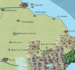
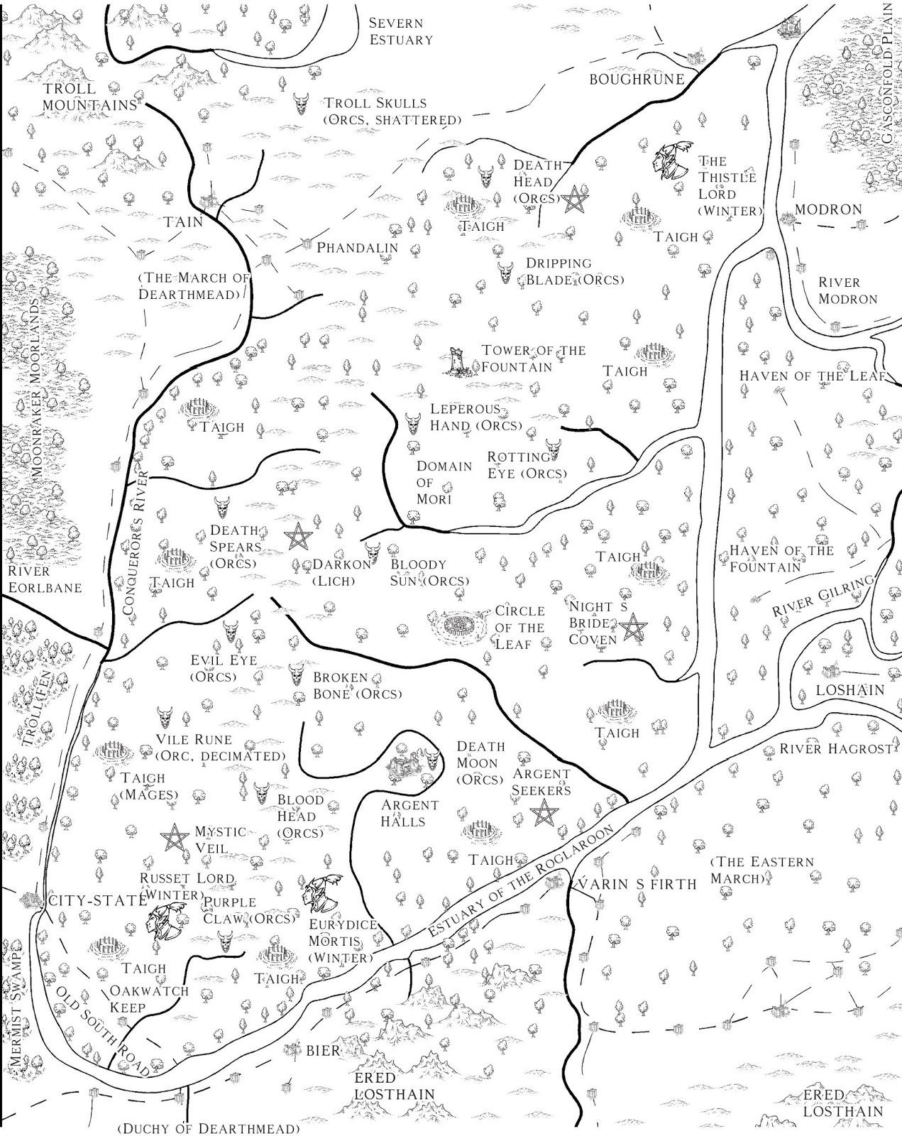
1a. First I draw the map in freehand. Just a map with no hexes or anything. Mountains, forests, lakes, islands.
1b. Then I determine the primary rivers and mountain passes that define the basic natural path network.
2a. After that I start adding major constructed sites like towns and castles that I want to have in the game area.
2b. Followed by the primary roads that people would have build to connect these sites.
3a. Next come any secondary sites that I want the players to be able to get instructions for to reach them by asking around for leads or picking up rumors.
3b. And then connect them with secondary trails and rivers that players are likely only to use if they are specifically looking for the site at the end.
4a. And finally I am adding tertiary sites that the players could spot while traveling on the primary and secondary paths.
4b. If they are visible from really far away, also add tertiary paths. Since the players are heading to a big object they can see in the distance, these paths don't have to follow any natural or constructed features on the ground.
Now, after the map is done, I can overlay the hex grid on the map and count the number of hexes that each path between any two points is going through to determine the distance. If you wanted to, you could note down that distance next to each path, but I simply leave the hexes on.
If at any point the players decide to go off the obvious paths and take a shortcut through the trees, simply draw a new path on the map. Count the hexes it passes through and you have the length of the path.
If a random encounter happens at any point in the wilderness, and the players decide to follow fleeing enemies, trace back the trail of killed enemies, convince friendly NPCs to be taken to their home, or they get taken prisoner, just mark the lair somewhere near the current position and draw a line for the path to get there. Again, count the hexes to figure out the length of the path.
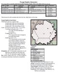
Someone complained about the clear plastic grid in the Forgotten Realms box. I think that idea is briliant for counting hexes to determine path length on a non-hex map. Though I doubt many people would have drawn new sites and trails on the big fancy paper maps.
Only slightly related to the above, but another thing that had been briefly brought up earlier:
I think procedurally generating content on the fly is not about letting GMs be lazy and run games without preparation. All the above is preparation that I would do in advance before even starting the campaign. (Though local maps for sites will be drawn and keyed as it becomes clear the players might go there soon.) Randomly determining a few key parameters as a starting ideas to develop more sites would also fall under this preparation.
Actually rolling up stuff during play is all about random encounters while travelling. And I think these are hugely important for a wilderness campaign, and must be randomly rolled, not prepared and set up in advance. With random encounters you establish than any preparations and precautions the players take before a journey will determine how well or poorly they will be able to deal with what they encounter. If encounters turn out easy, it's because the players prepared well and were lucky. It's not because the GM decided to only give them as much opposition as they can handle. And the reverse is true as well. The GM does not decide when the PCs should get badly beaten up. The only two variables are player planning and dice luck. GM whim is not a factor. (Sure, writing the random encounter tables is the GM's work, but that's different.) In most situations where a random encounter happens, there is a possibility that the players might want to find the creature's lair, and they should be able to do so. Lair generation on the fly can be quick and dirty. Roll another group for the the same creature type but this time as a lair, and grab one of a dozen or so prepared empty lair maps.And done. Should the players end up robbing their stash, that's where randomly rolling treasure comes handy.
If you have a week or two time and want to get big and fancy, you can design a whole dungeon to house the lair. A simple stockade with tents or a small cave with three chambers where the whole group lives is for when you need to improvise something quick


